The Idaho Department of Lands Forest Health program provides technical assistance and training to private landowners and forest managers on managing for healthy forests.
Our focus is on prevention and suppression of damaging insects and diseases before and during outbreaks. We promote restoration of tree species most suited to the environment in order to grow sustainable, productive and healthy forests.
Table of Contents
Fact Sheets
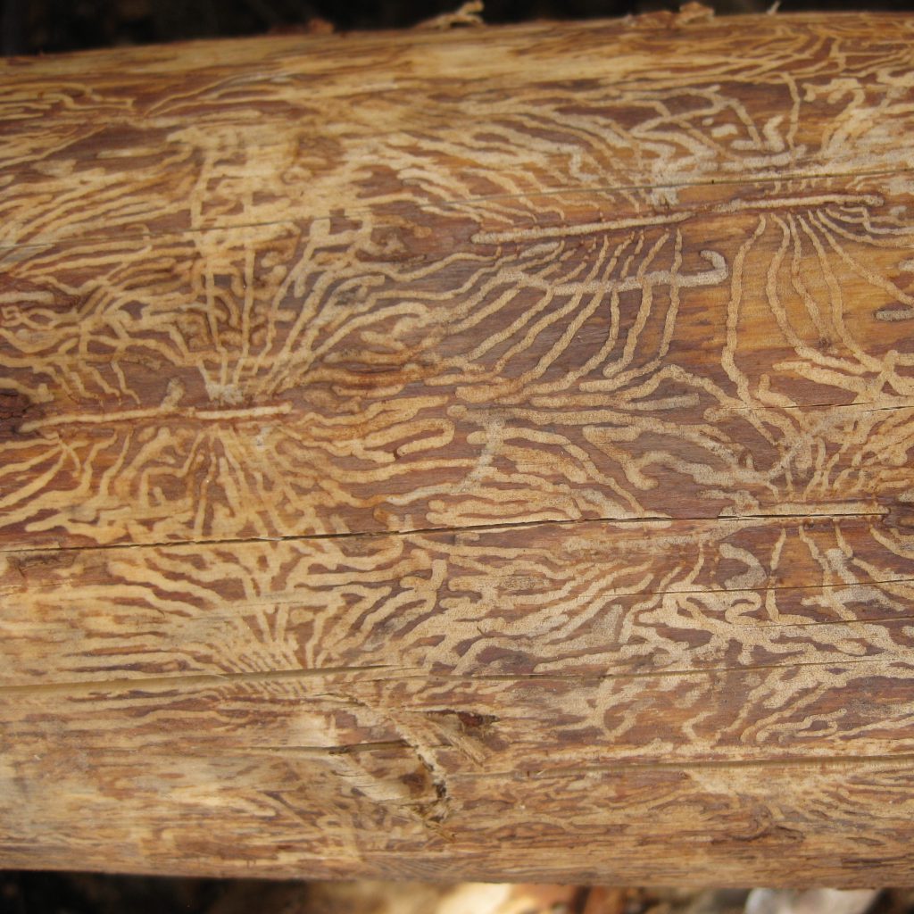
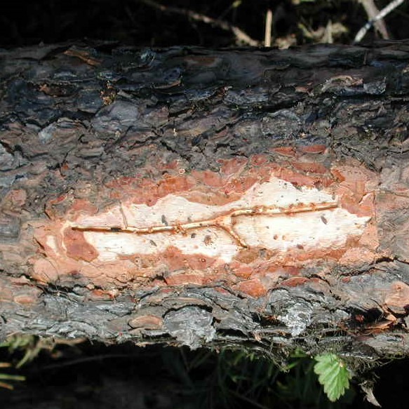
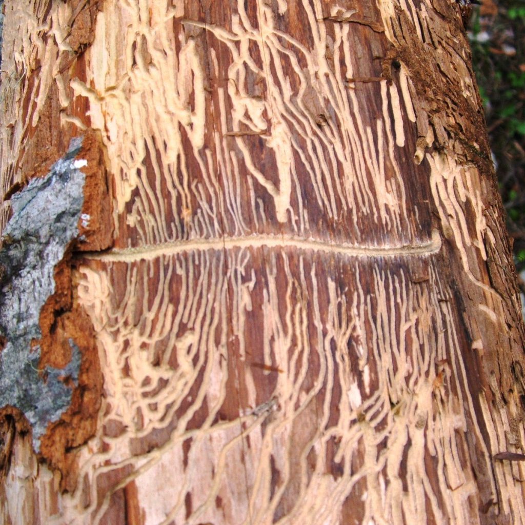
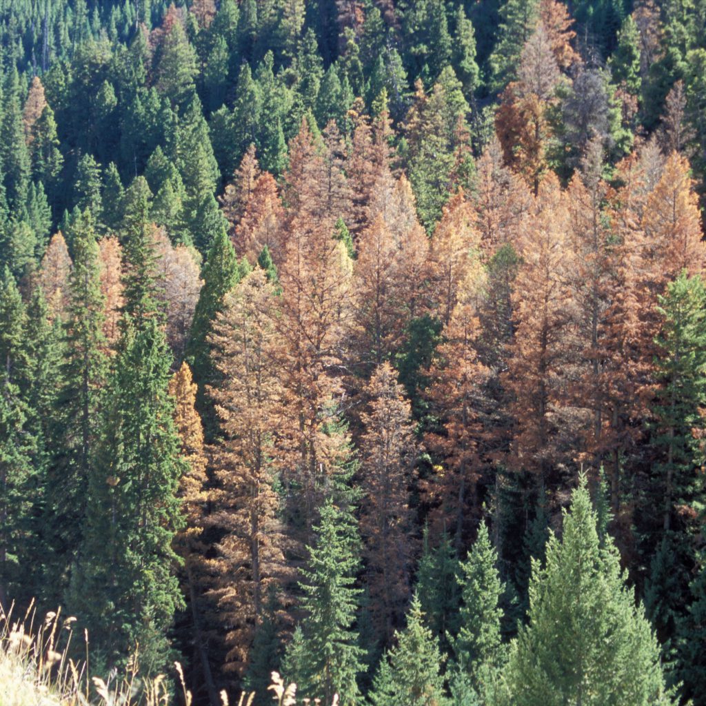
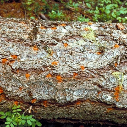
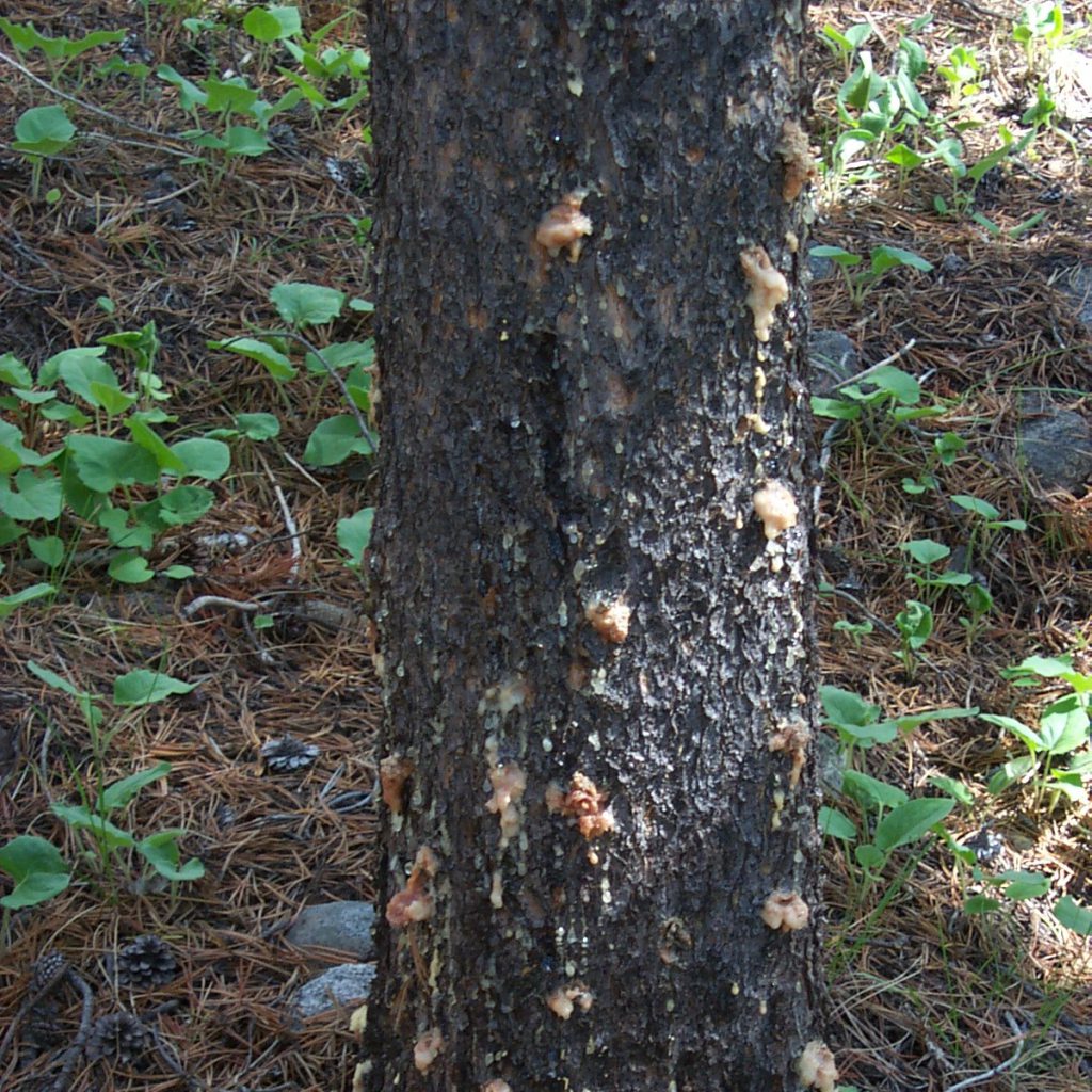
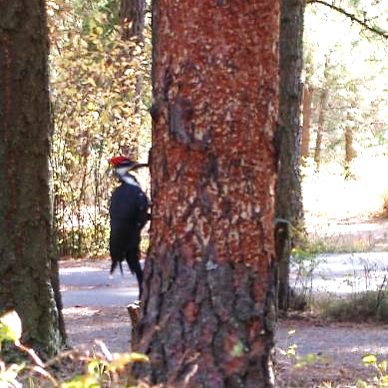
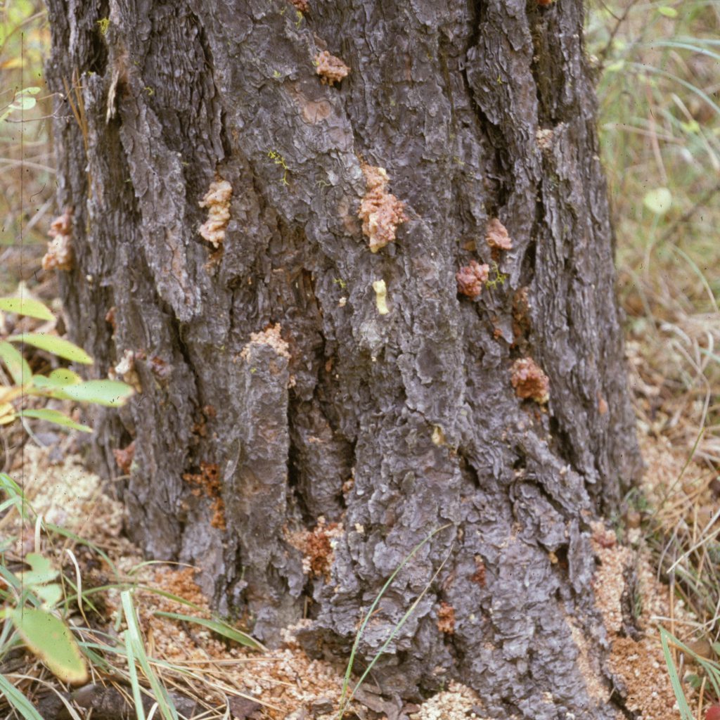
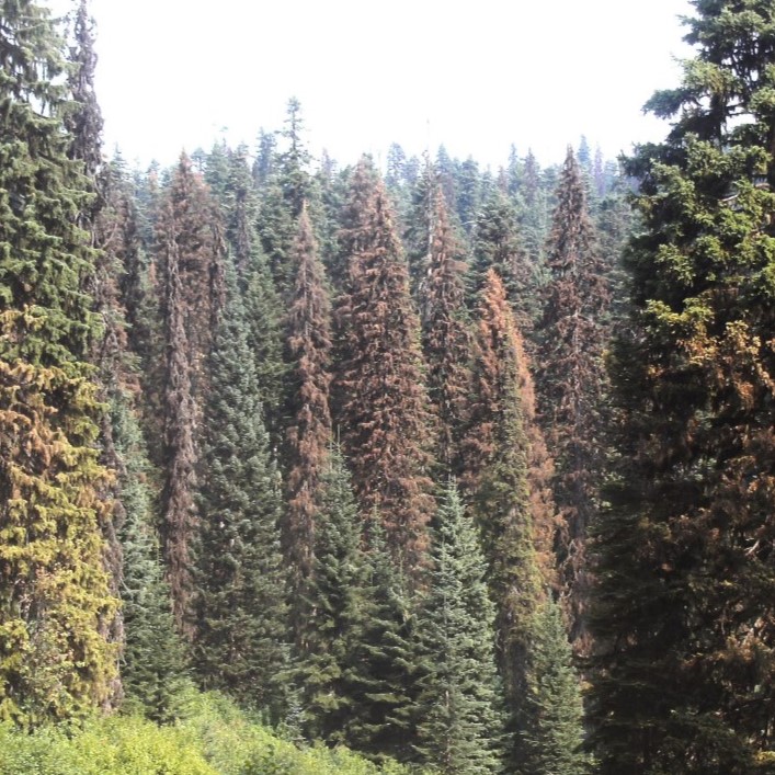
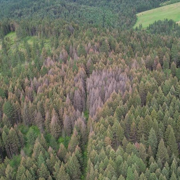
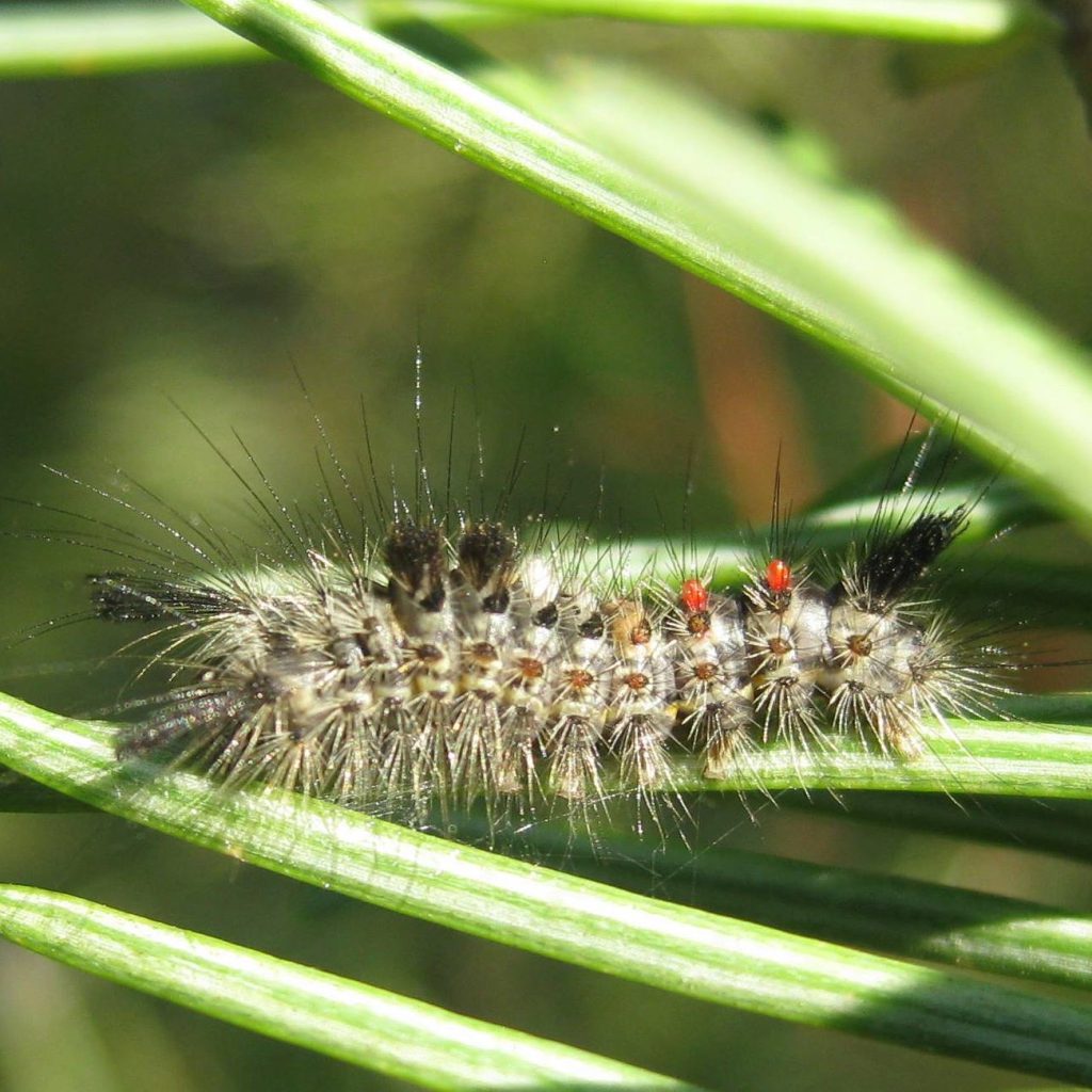
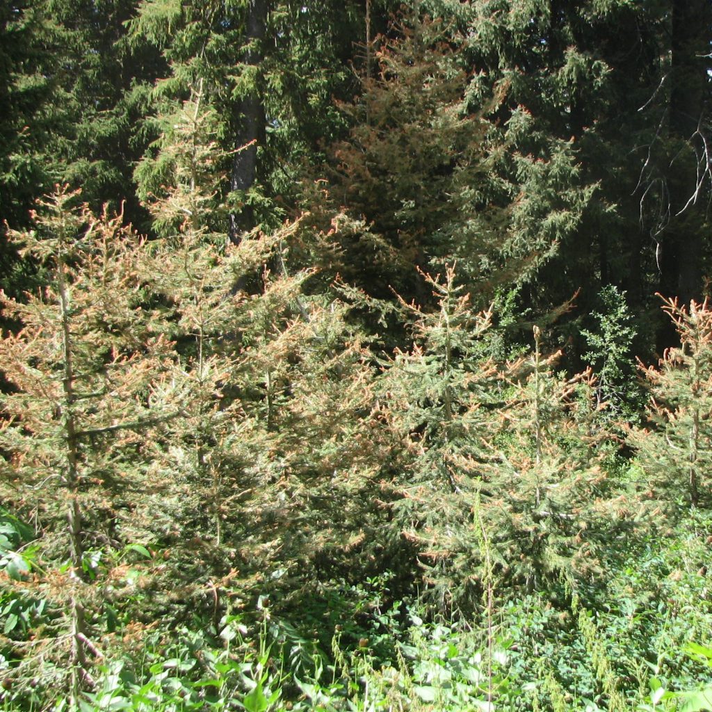
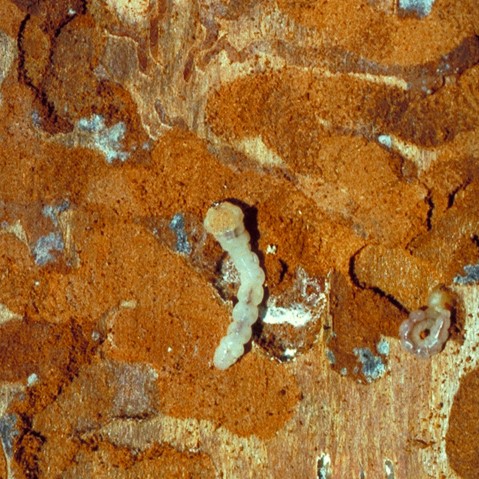
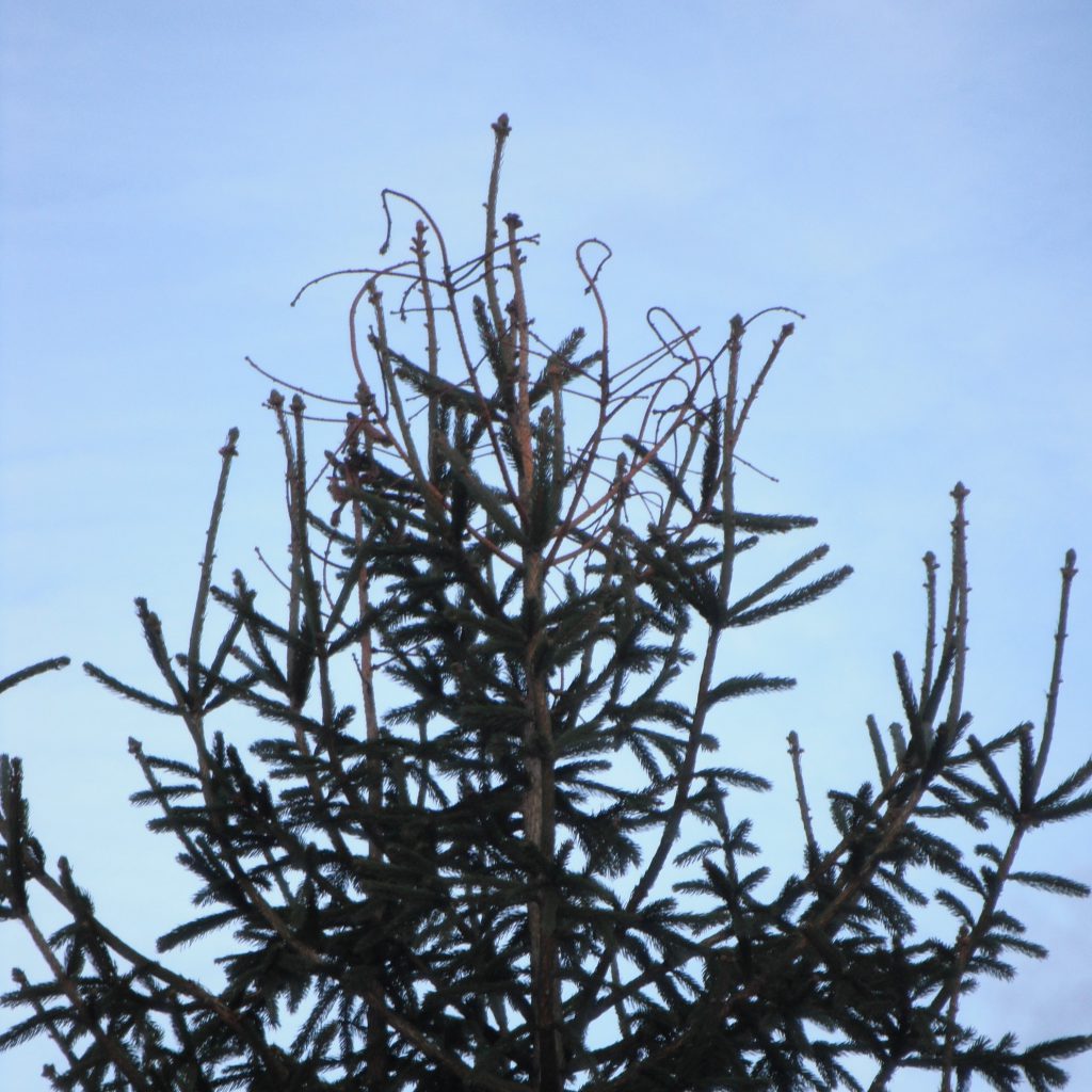
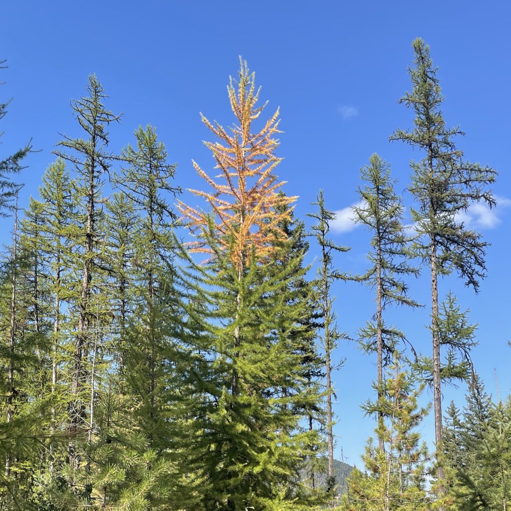
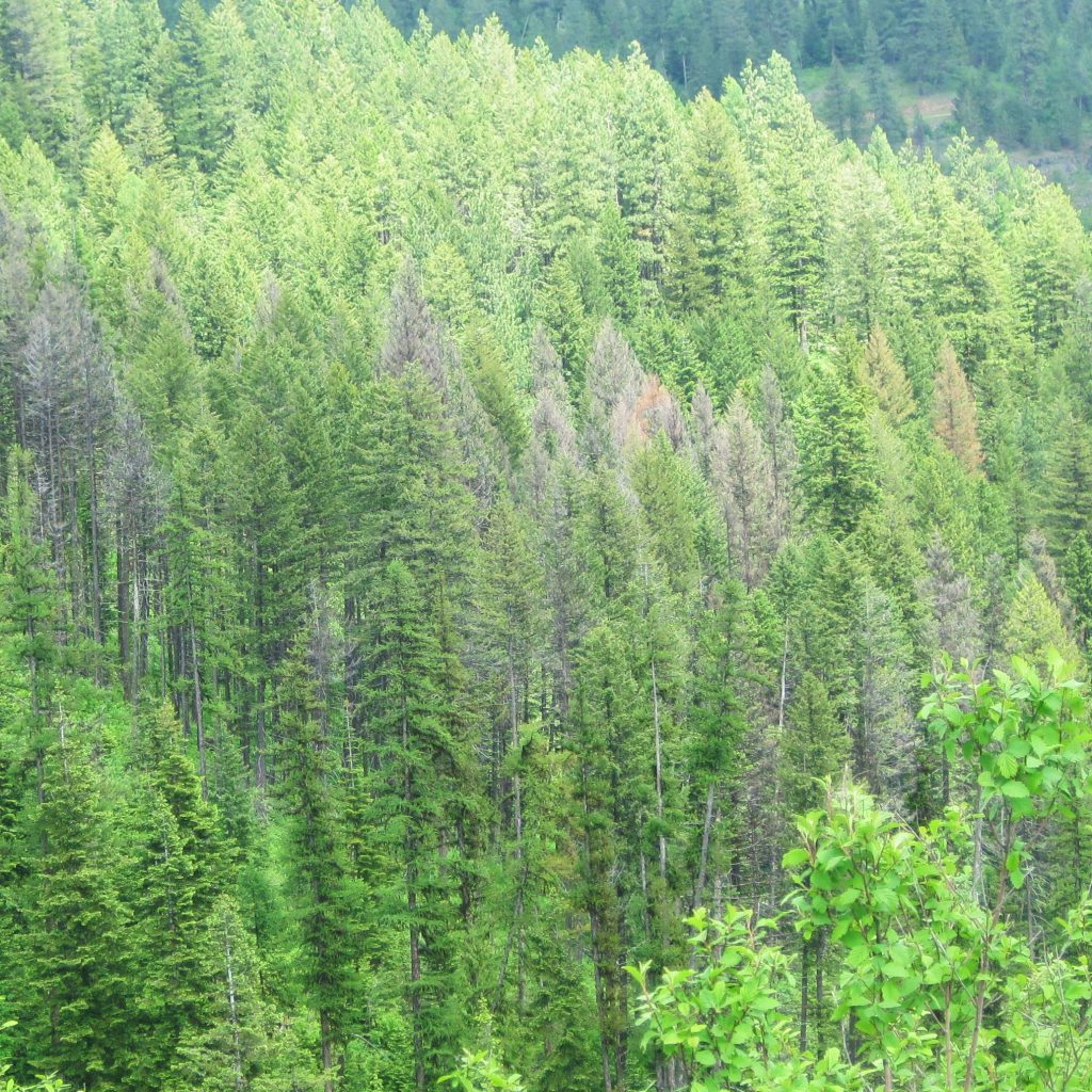
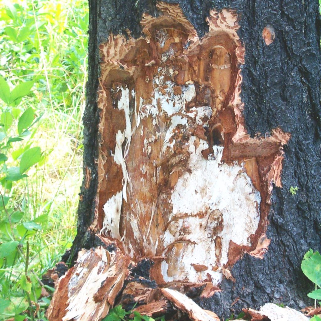
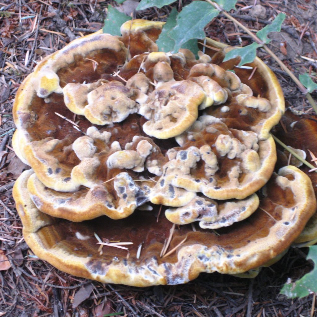
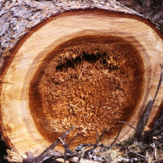
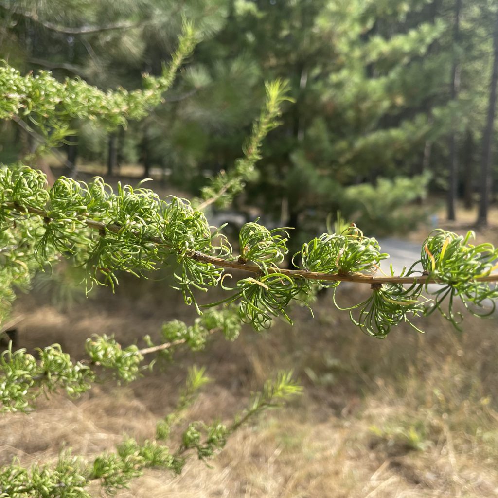
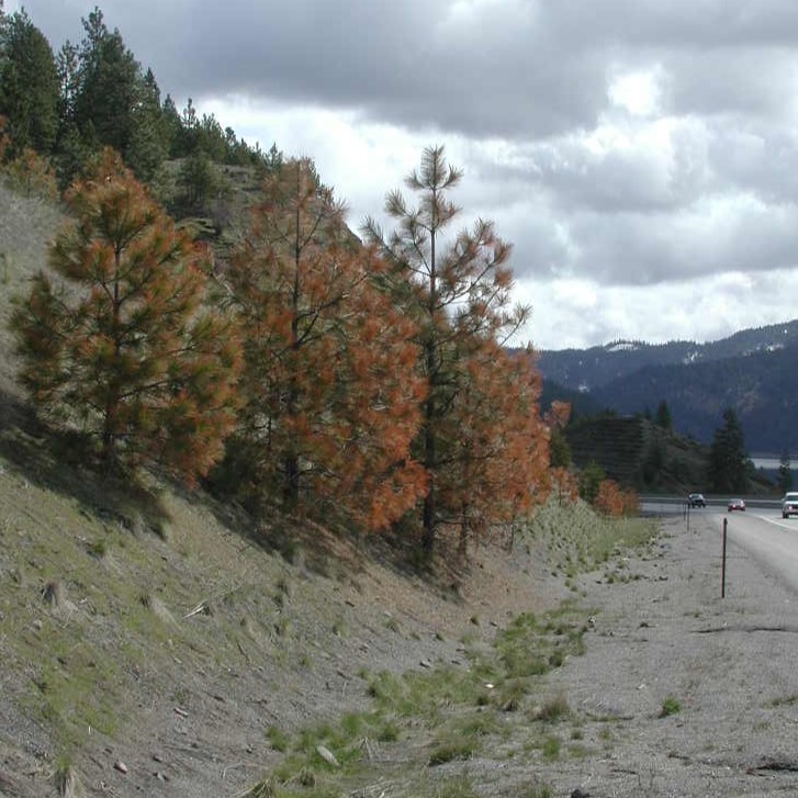
Use the arrows to scroll and pause images to help determine the forest health issue, then find the related Fact Sheet listed below.
Insects
Diseases
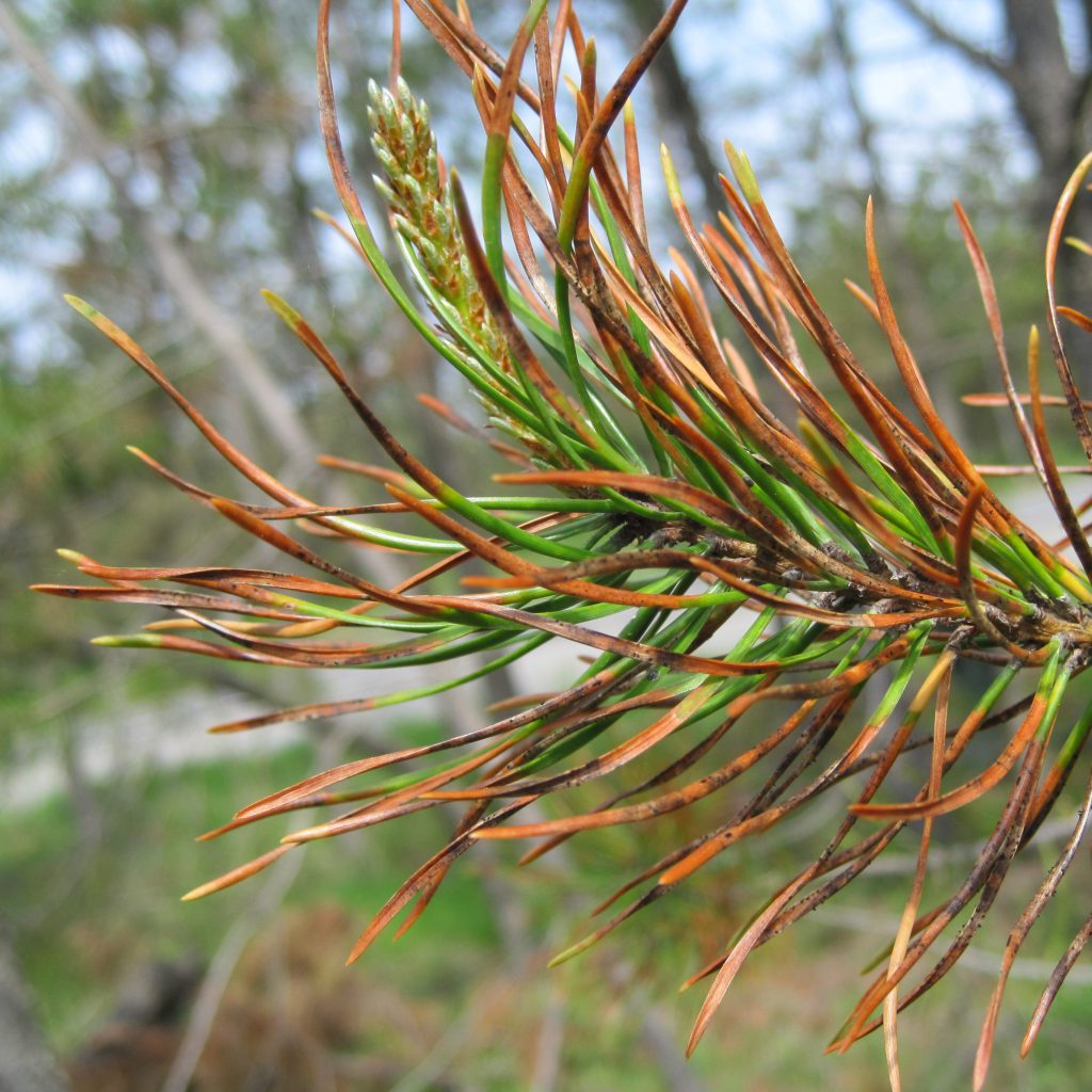
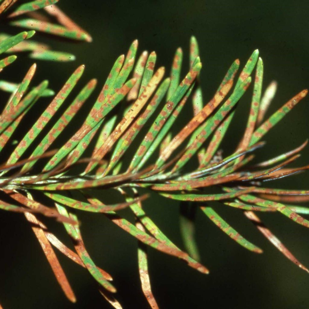
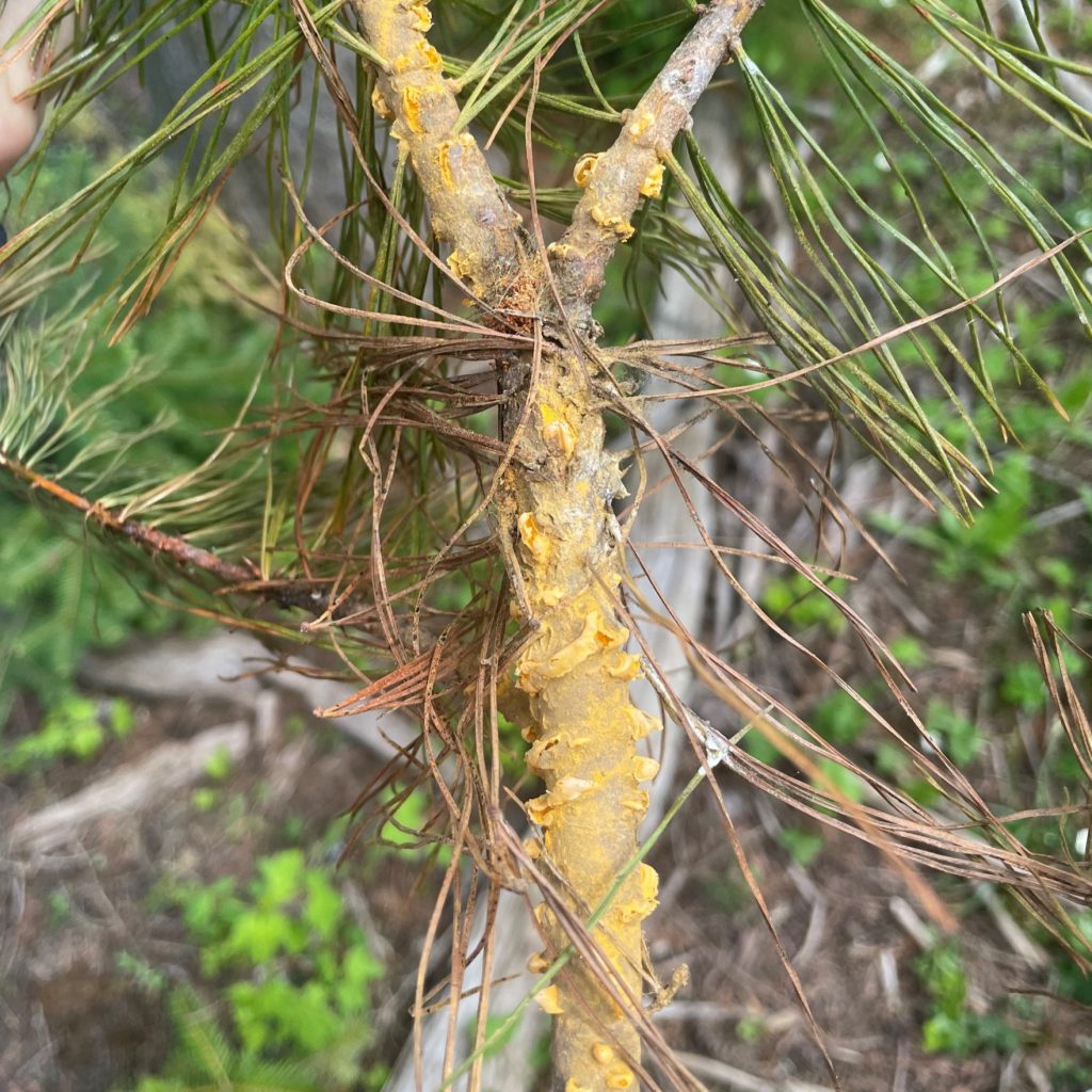
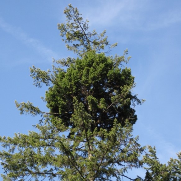
Forest Health Highlights
Idaho has over 21 million acres of forest land, from the Canadian border in the north, to the Great Basin in the south. Elevations range from less than 1,000 feet along the Clearwater River valley to over 12,000 feet in the Lost River Range of southeastern Idaho. The mixed conifer forests in the Panhandle area can be moist forest types that include tree species found on the Pacific Coast such as western hemlock, Pacific yew, and western redcedar. Southern Idaho forests are generally drier, and ponderosa pine and Douglas-fir are most common. Lodgepole pine, Engelmann spruce, whitebark pine and subalpine fir occur at higher elevations throughout the state.
Additional Resources
Root diseases in the Inland Northwest
Are your trees at risk? Bark beetle brochure
Field guide to diseases and insect pests of northern & central Rocky Mountain conifers
U.S. Forest Service Disease and Insect Pests Field Guide
U.S. Forest Service Forest Insect and Disease Leaflets
IDL Insect and Disease Forester Forums
Pest Monitoring
The IDL Forest Health staff cooperate with other state and federal agencies to complete several annual pest detection and monitoring surveys throughout the state.
Spongy Moth (Formerly Gypsy Moth)
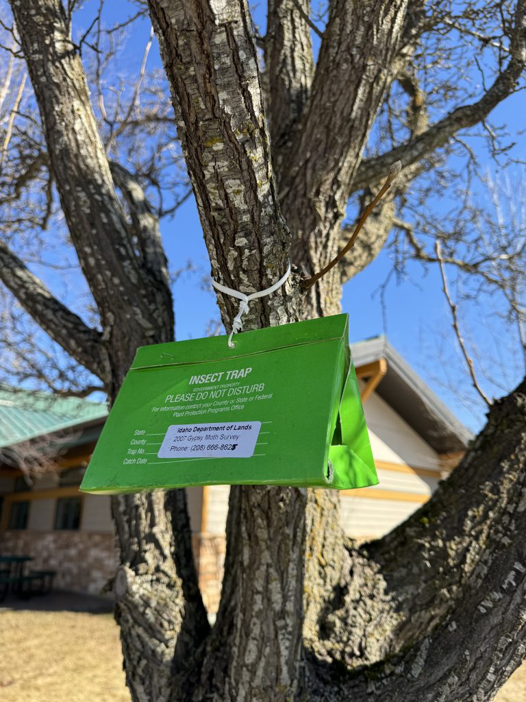
Spongy moth is a non-native insect that can cause extensive damage by feeding on the foliage of many forest and shade trees. spongy moth was introduced to the U.S. in 1869 and is now established in many eastern states, but it is not established in Idaho. Each year, the IDL forest health team leads a statewide trapping survey to monitor for any new introductions of spongy moth so that it can be quickly eradicated.
Douglas-Fir Tussock Moth (DFTM)

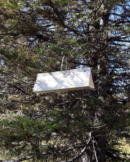
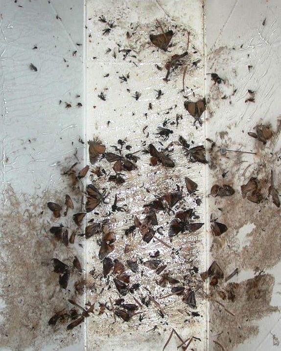
The Douglas-fir tussock moth is a native defoliator that feeds on firs, Douglas-fir, and sometimes spruce in Idaho. Douglas-fir tussock moth populations are usually low and do not cause visible damage, but they periodically have major outbreaks. Each year, the IDL forest health team and U.S. Forest Service cooperators conduct a statewide trapping program to monitor the population status of this insect. Increases in trap captures indicate an outbreak is on the way. During an outbreak, larvae, pupae, and egg masses are also surveyed to determine the population status. Typically, natural enemies cause outbreaks to collapse on their own after a few years.
2024 Douglas-fir Tussock Moth Report
2023 Douglas-fir Tussock Moth Report
2022 Douglas-fir Tussock Moth Report
Douglas-fir Tussock Moth Fact Sheet 2021
Douglas-fir Tussock Moth Fact Sheet 2020
2021 Douglas-fir Tussock Moth Report
2020 Douglas-Fir Tussock Moth Report
2019 Douglas-Fir Tussock Moth Report
2018 North Idaho Douglas-fir tussock moth monitoring report
Douglas-fir tussock moth management guide
Douglas-fir tussock moth leaflet
Forest Insect & Disease leaflet

Emerald Ash Borer
Although emerald ash borer has not been found in Idaho, it is important to monitor for it.
Learn more about the emerald ash borer and monitoring tools for Idahoans.
Emerging Pests
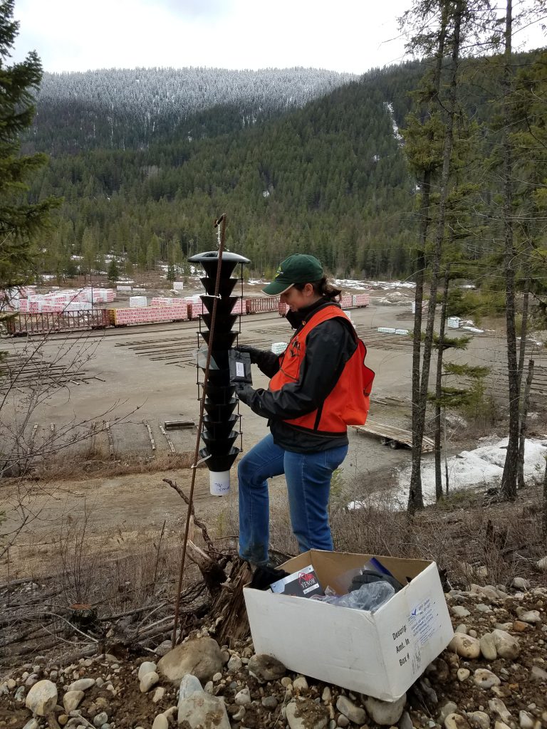
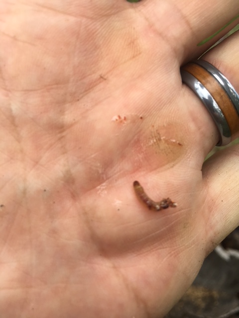
In addition to regular annual surveys, the IDL forest health team also conducts monitoring for new and emerging pests. IDL assists APHIS with bark beetle trapping each year, using different pheromone attractants to monitor invasive beetle introductions. IDL, University of Idaho, and U.S. Forest Service entomologists are also currently working together to study an emerging pest causing topkill in western larch (Cydia laricana complex).
Monitoring Surveys
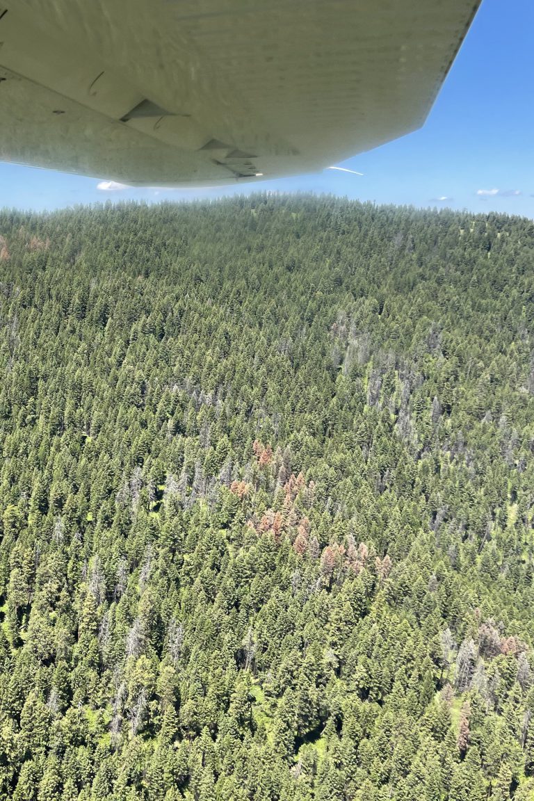
Aerial detection surveys locate, identify, and map many forest health issues from the air. Each year, the IDL forest health team assists with flying over most forest lands in Idaho to record important trends. It is important to note that these surveys are intended to capture general patterns across the landscape, so point and polygon locations may not be exact.
2024 Idaho Aerial Detection Survey Map
2023 Idaho Aerial Detection Survey Map
2022 Idaho Aerial Detection Survey Map
2021 Idaho Aerial Detection Survey Map
2019 Idaho Aerial Detection Survey Map
Download Aerial Survey GIS data and maps from the U.S. Forest Service for Idaho.

To find and contact your closest Idaho Department of Lands office see our Supervisory Area map.

