


Local Rangeland Fire Protection Associations
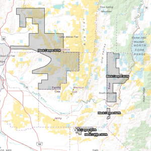 Established in 2013
View Black Canyon RFPA on GIS map
Protects 185,384 total acres, including:
-
- 108,555 private acres
- 61,111 federal acres
- 15,719 state acres
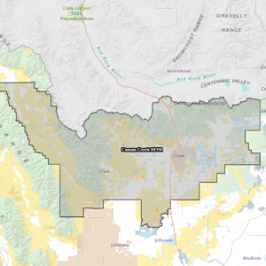 Established in 2016
View Camas Creek RFPA on GIS map
Protects 1,494,608 total acres, including:
- 363,005 private acres
- 1,019,277 federal acres
- 112,327 state acres
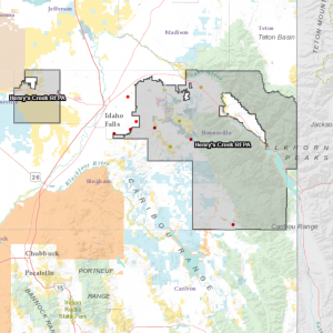 Established in 2017
View Henry’s Creek RFPA on GIS map
Protects 914,696 total acres, including:
- 286,775 private acres
- 571,374 federal acres
- 56,547 state acres
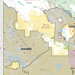
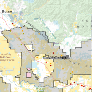 Established in 2012
View Mountain Home RFPA on GIS map
Protects 964,131 total acres, including:
- 300,091 private acres
- 564,138 federal acres
- 98,174 state acres
 Established in 2016
View Notch Butte RFPA on GIS map
Protects 341,170 total acres, including:
- 74,535 private acres
- 247,745 federal acres
- 18,890 state acres
 Established in 2013
Protects 1,370,873 total acres, including:
- 254,175 private acres
- 972,268 federal acres
- 144,430 state acres
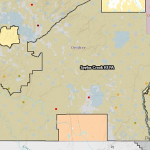 Established in 2013
View Saylor Creek RFPA on GIS map
Protects 2,222,204 total acres, including:
- 131,128 private acres
- 1,964,913 federal acres
- 126,162 state acres
 Established in 2015
View Shoshone Basin RFPA on GIS map
Protects 488,054 total acres, including:
- 174,940 private acres
- 302,144 federal acres
- 10,969 state acres
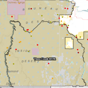 Established in 2013
View Three Creek RFPA on GIS map
Protects 1,120,203 total acres, including:
- 114,599 private acres
- 951,243 federal acres
- 54,362 state acres
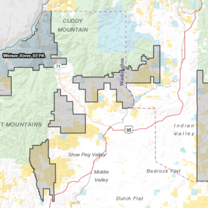 Established in 2021
View Weiser River RFPA on GIS map
Protects 135,212 total acres, including:
- 60,246 private acres
- 38,252 federal acres
- 27,208 state acres